A history of the US-Canada border (which brings to light some realities of surveying in the 1800s) was recently posted on the NYT blog, found here. For more historical border issues (errors later pointed out using newer technology – GPS), see the Deseret news and the NOAA response.
The NOAA rebuttal is an interesting argument: even though a specific monument (the Four Corners marker that sits between Utah, Colorado, Arizona, and New Mexico) is at a location other than its intended coordinates, it doesn’t invalidate the boundaries between these states, nor does the meandering of the US-Canada border along the 49th parallel call into question the location of the border with our northern neighbors. The (connected) monuments, placed between 1872 and 1874, define the boundary, even if they do ‘wander’ across the parallel.
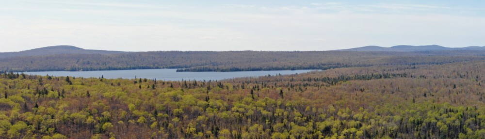
Given the tools surveyors had to work with in the 19th century, and the terrain they were crossing, the border between Minnesota and Washington is amazingly straight. It’s the development of newer tools (GPS and Google Earth, among others) that lets us discover such errors with relative ease.
On a final note, the Four Corners is a unique place in the U.S. It was even parodied in an episode of The Simpsons.